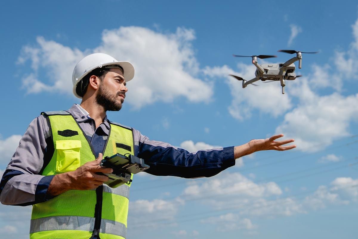
Wiikwemkoong鈥檚 Lands department harnesses drones for geolocation work Michael Erskine Apr 01, 2026 - 1 min read Drones are becoming an invaluable tool for mapping out large geographical areas. Shutterstock Drones are becoming an invaluable tool for mapping out large geographical areas. Shutterstock This post is for paying subscribers only Subscribe now and have access to all our stories, enjoy exclusive content and stay up to date with constant updates. Subscribe now Already a member? Sign in